
/ 01 · Registered cloud
Measured geometry
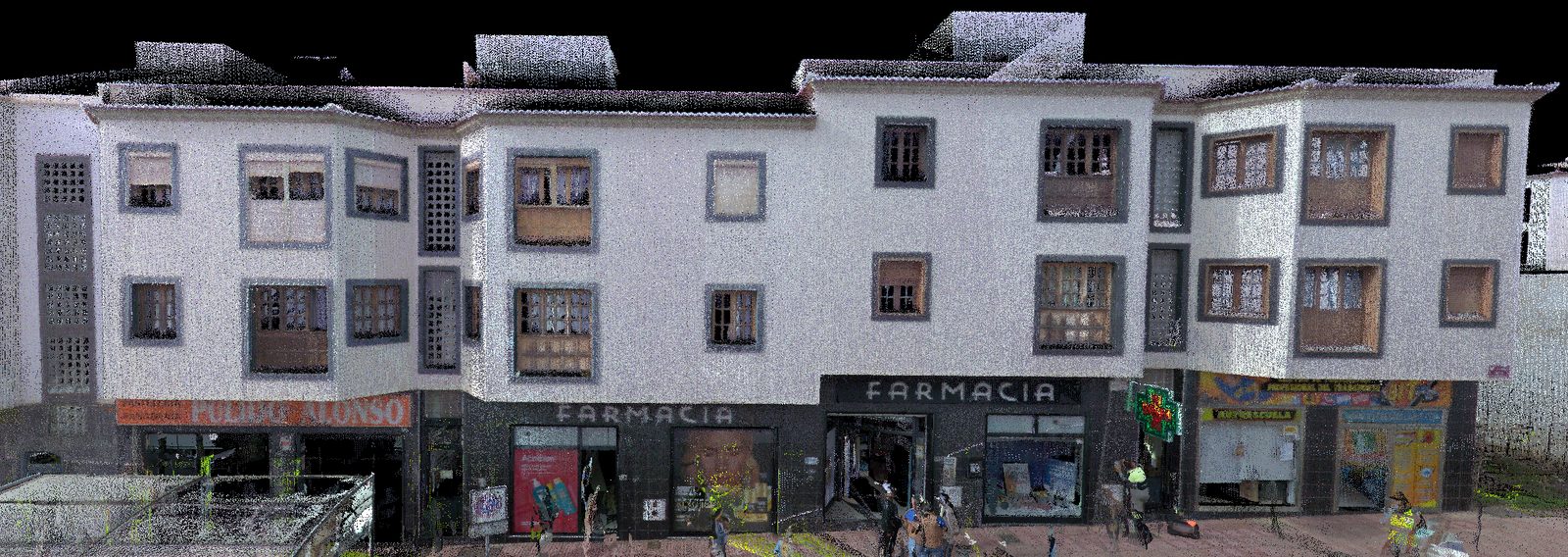
Tens of millions of points registered from multiple stations. RGB texture is assigned from spherical photos during processing.
Case study
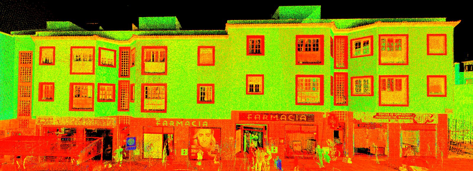
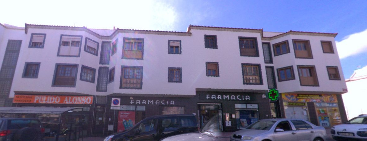
A commercial facade surveyed with a laser scanner as the basis for a rehabilitation technical report. Three readings of the same set of points.
The assignment: document the current state of a commercial facade in Las Palmas de Gran Canaria before drafting the rehabilitation project. The survey was carried out with a terrestrial laser scanner from several stations on the public road, without interrupting the business or closing the pavement.
From the registered cloud we extracted the scaled elevations, the map of leanings and overhangs, and the metric documentation the designer needed to quantify the intervention. All later analysis was done at the office, without returning to the site.
/ 01 · Registered cloud
Tens of millions of points registered from multiple stations. RGB texture is assigned from spherical photos during processing.
/ 02 · Elevation map
The cloud colorised by elevation and intensity reveals constructive patterns: flatness, overhangs, deterioration. Useful for technical inspection and rehabilitation.
/ 03 · Control photo
For the client to confirm that cloud and reality match point by point. When what we measured and what is visible line up, the processing is clean.