
/ 01 · Laser capture
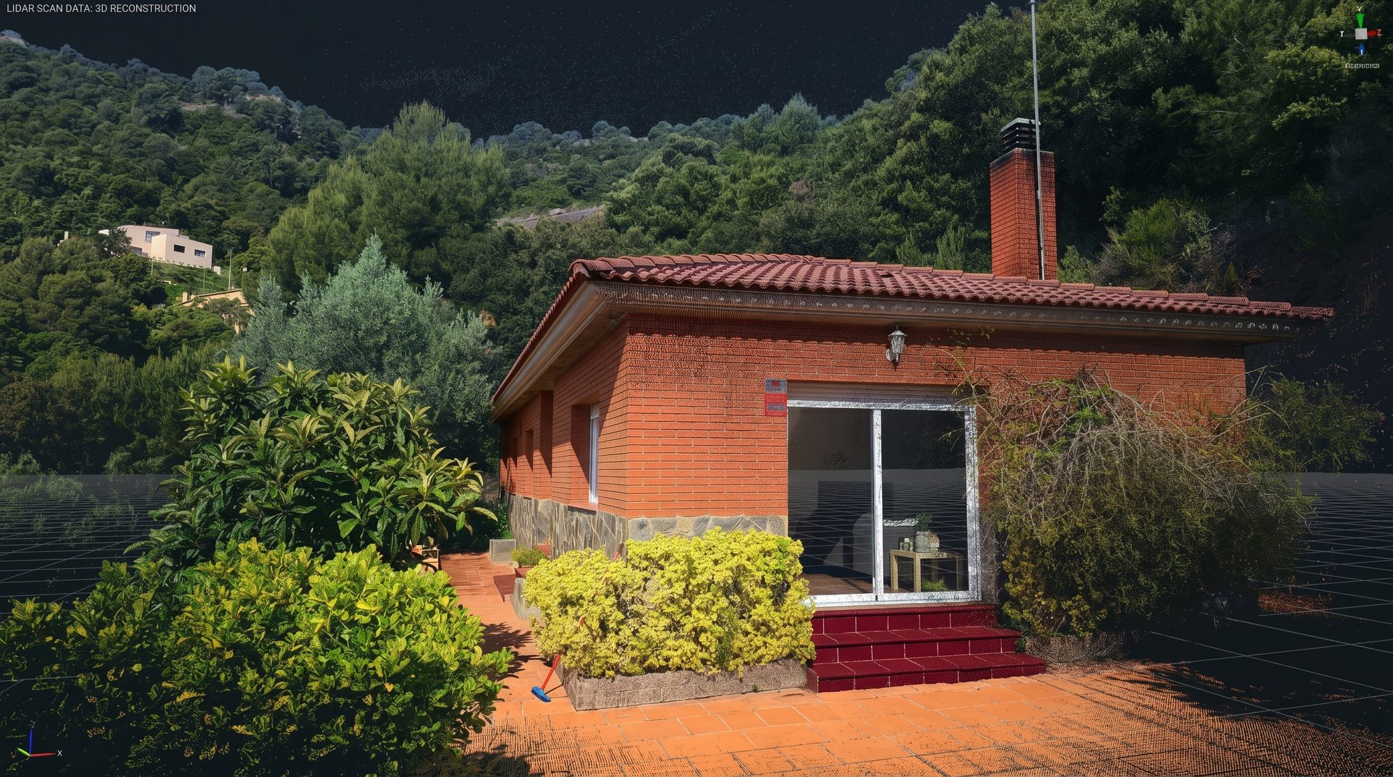
The technical cloud
Millions of measured points with their X-Y-Z coordinates. A single visit captures the full geometry of the building.
TRIDENTE Ingeniería · Canary Islands
Surveying, point cloud and 3D capture for architecture, hospitality and engineering across the Canary Islands.
01 / Specialties
The sensor captures the site and surveying gives it coordinates and official validity. And when the project needs it, we turn it into surfaces, profiles and volumes.
/ 01 · Laser scanning
We scan the building and deliver a cloud of millions of georeferenced points, clean and classified — the base your team draws, models and measures from without going back to the site.
See deliverables →/ 02 · Surveying & cadastre
Surveys with GNSS RTK and drones. Measurements backed by the technical responsibility of a licensed ITOP engineer for permits, subdivisions, setting-out and cadastral and registry procedures.
See services →/ 03 · 3D modelling & surfaces
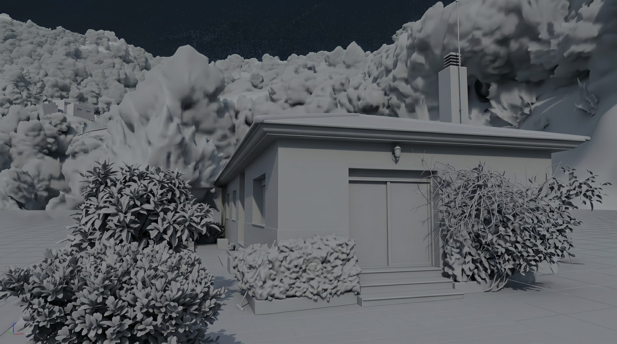
From the point cloud to the geometry used in design: digital terrain model, contour lines, profiles and earthwork quantities. From millions of points to measurable surfaces and volumes.
See deliverables →/ 01 · Laser scanning
/ 01 · Laser capture
Millions of measured points with their X-Y-Z coordinates. A single visit captures the full geometry of the building.
/ 02 · Office processing
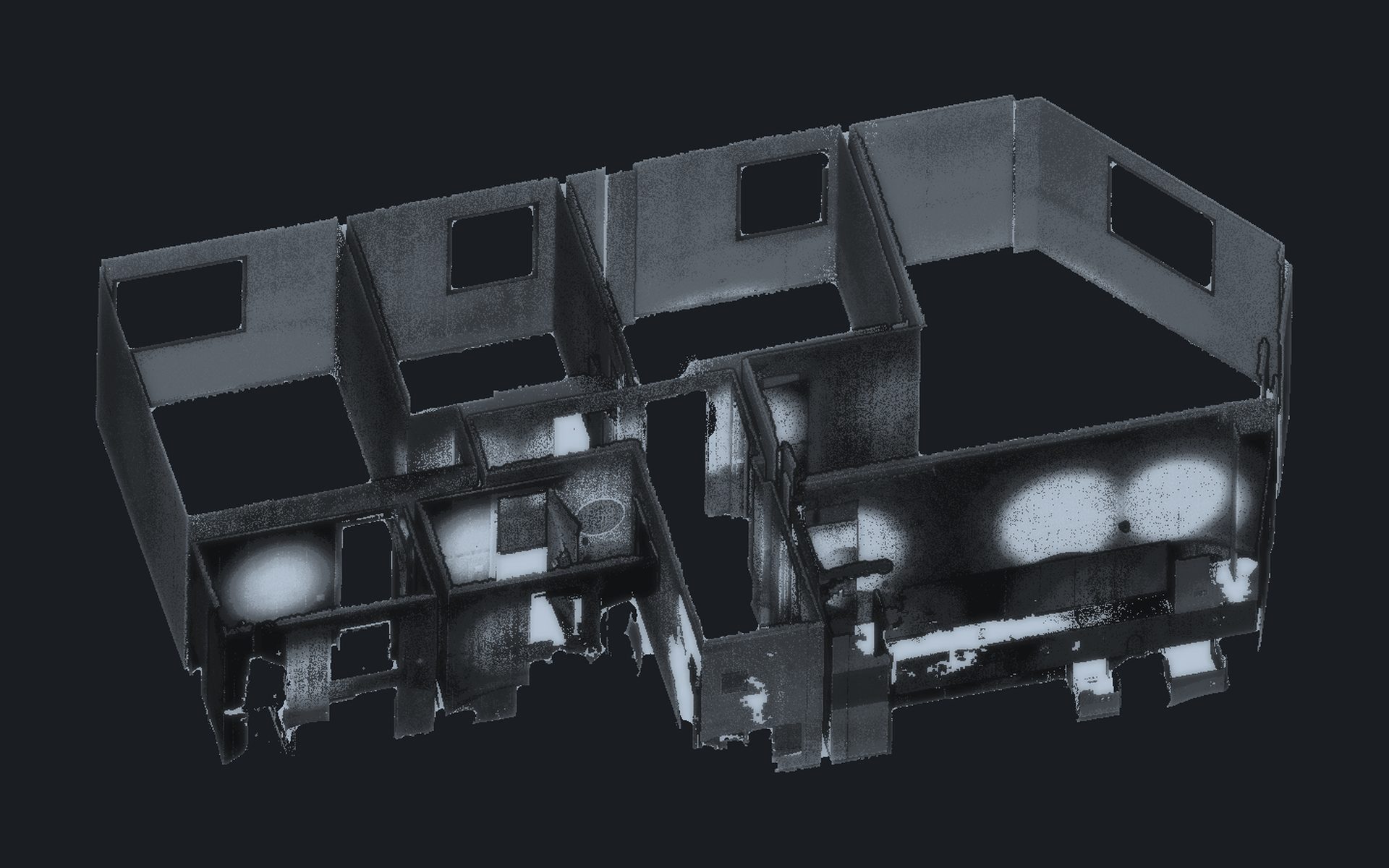
Registration, cleaning and classification of the cloud. Every data point passes quality control before it becomes a line.
/ 03 · Drafting & drawings
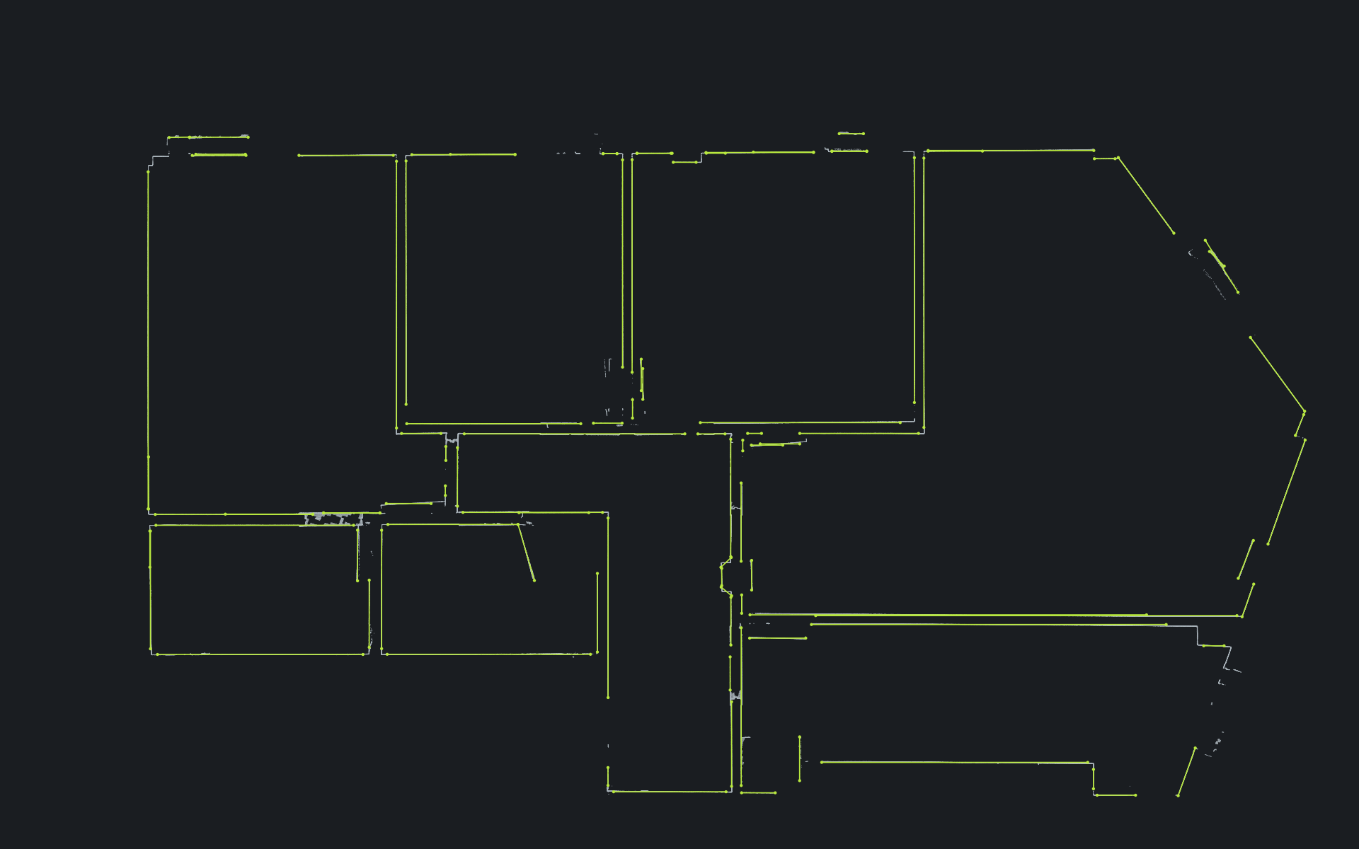
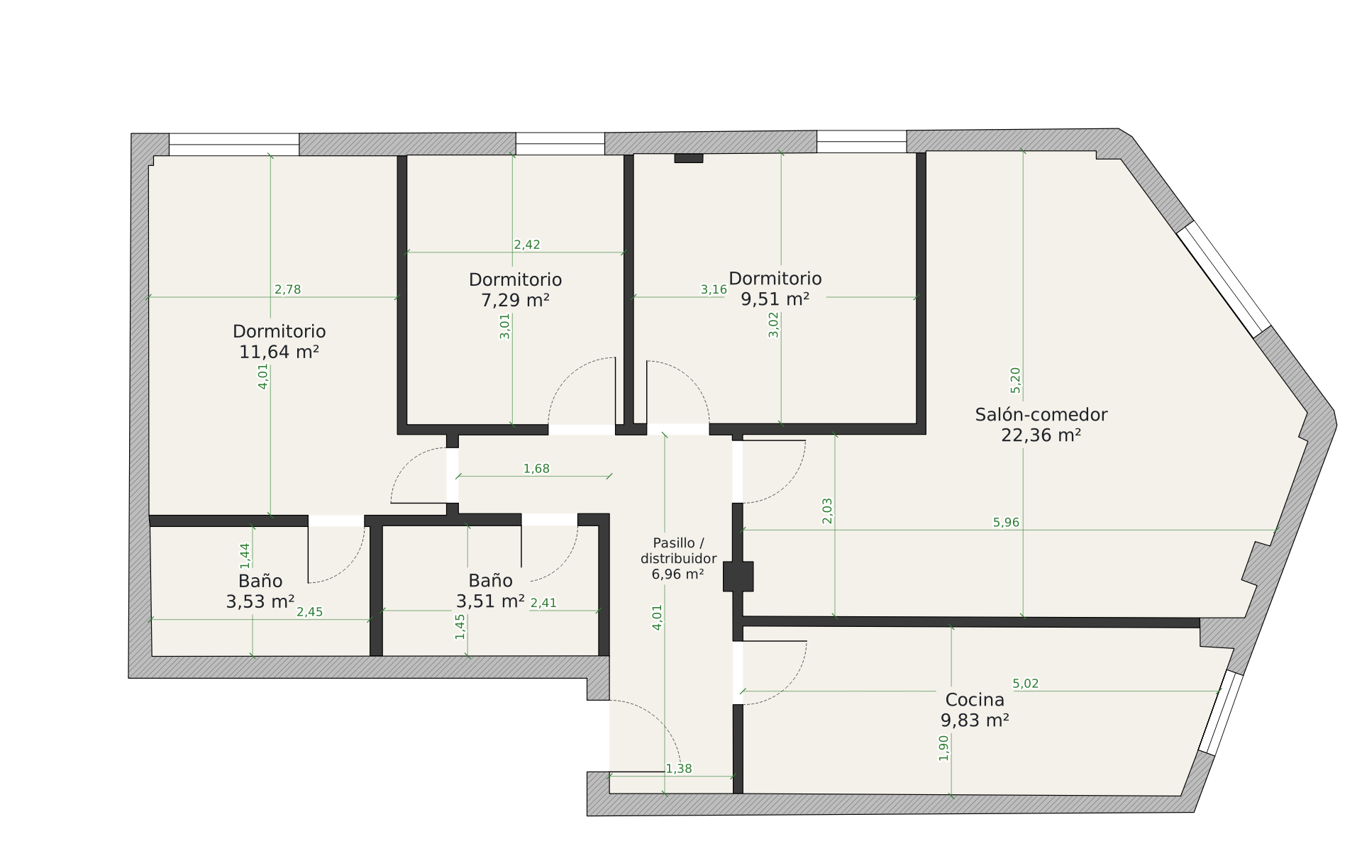
Scaled floor plans, elevations and sections, with dimensions and usable areas. As-is drawings ready for your project.
/ 02 · Surveying & Cadastre
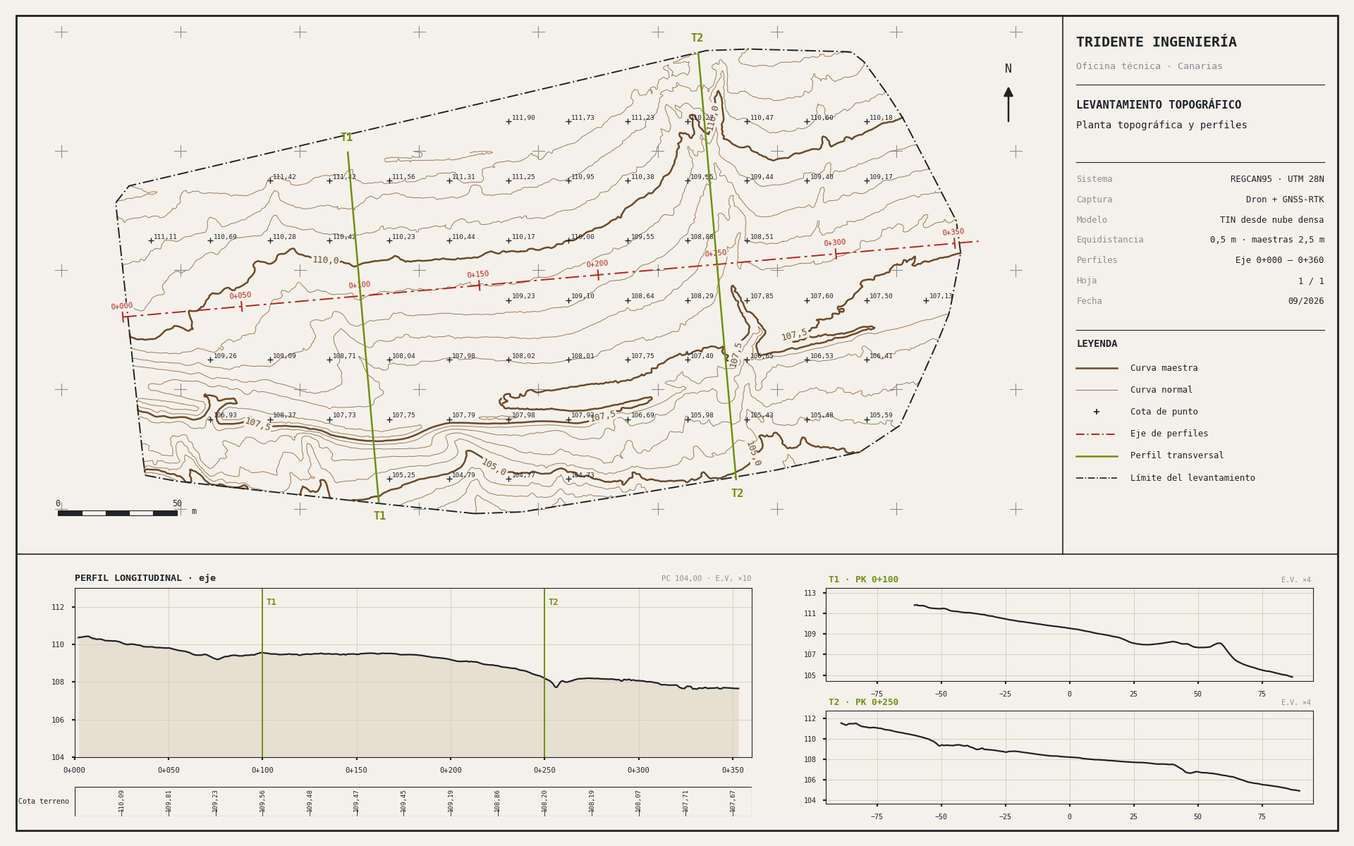
From the assignment to the drawing without friction: the same team plans, measures and processes. You know which phase your project is in at all times.
/ 01
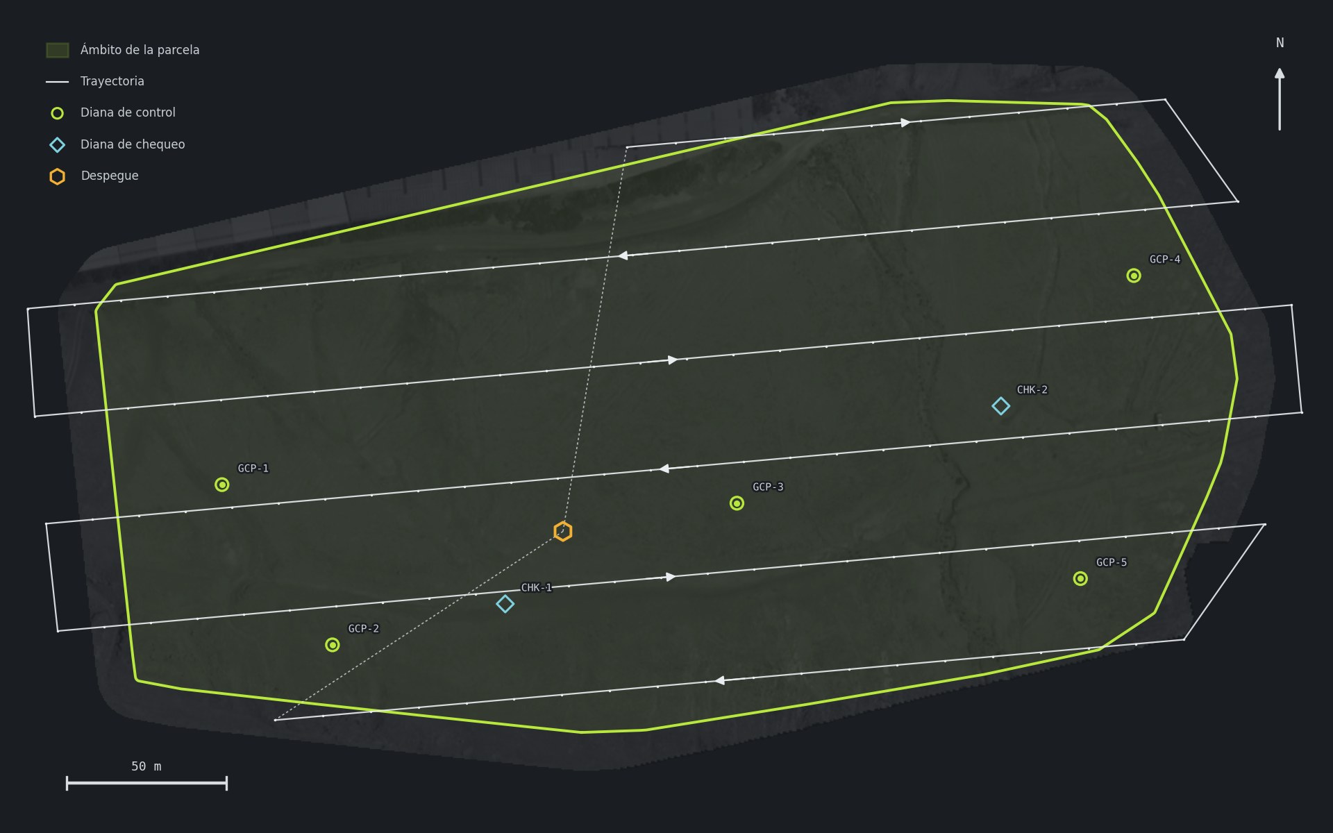
We study the plot, define the scope and handle the necessary flight permits before going to the field. You get a date and work plan.
/ 02
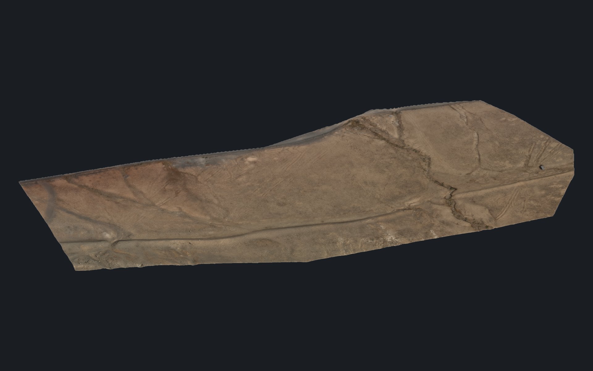
GNSS RTK and drones — we pick the instrument for the terrain and the accuracy required. Our own team in the field, no subcontracting.
/ 03
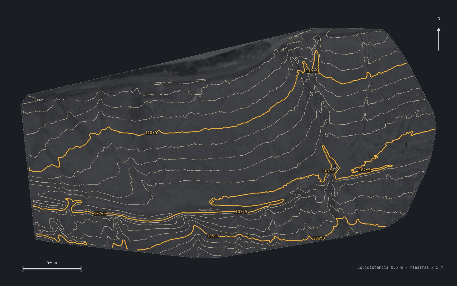
Computation, cleaning and quality control of the field data.
/ 04
Georeferenced drawings, contour lines, surface certificates, point cloud and documentation ready for the cadastre, the registry or your project.
/ 03 · 3D modelling & surfaces
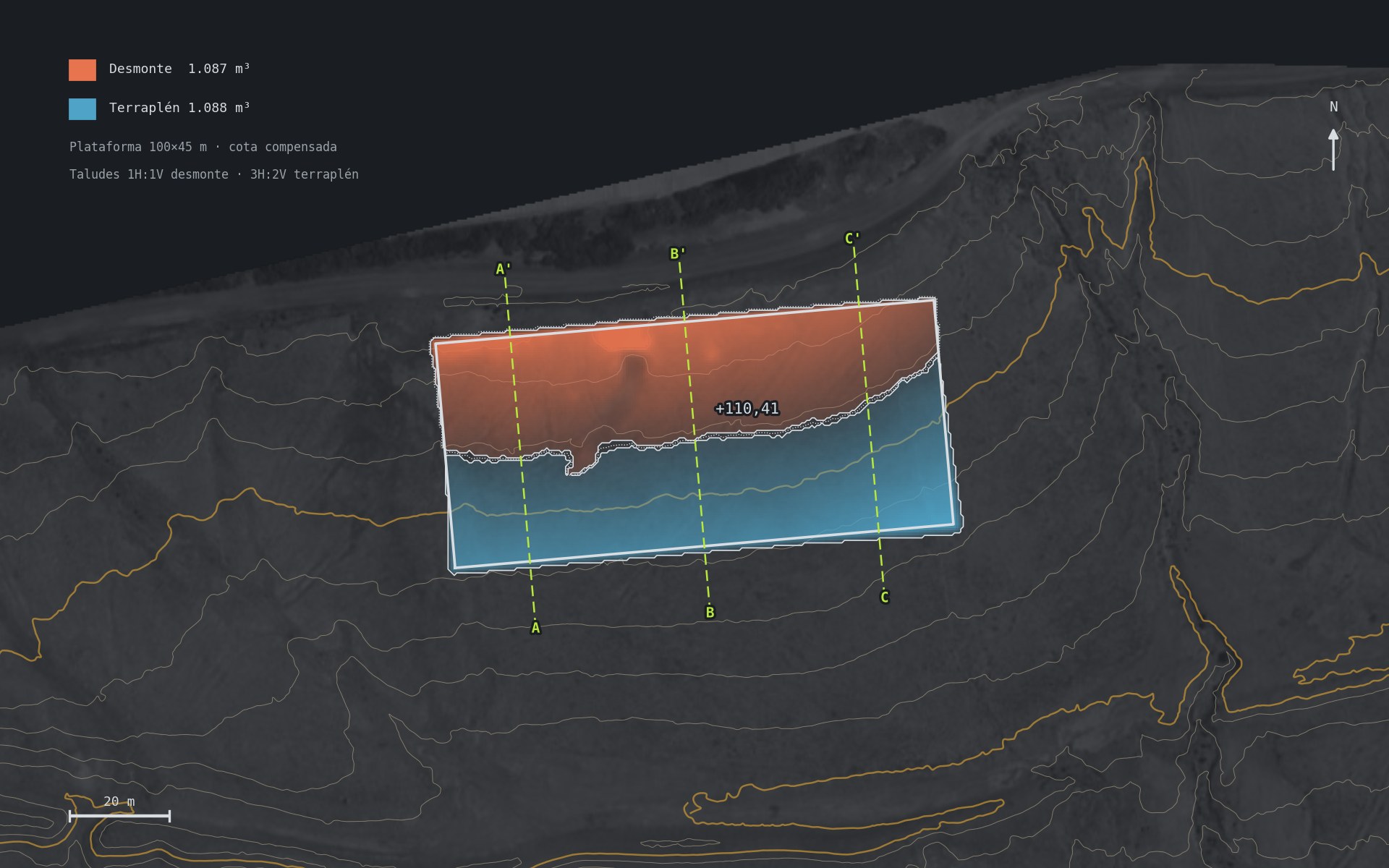
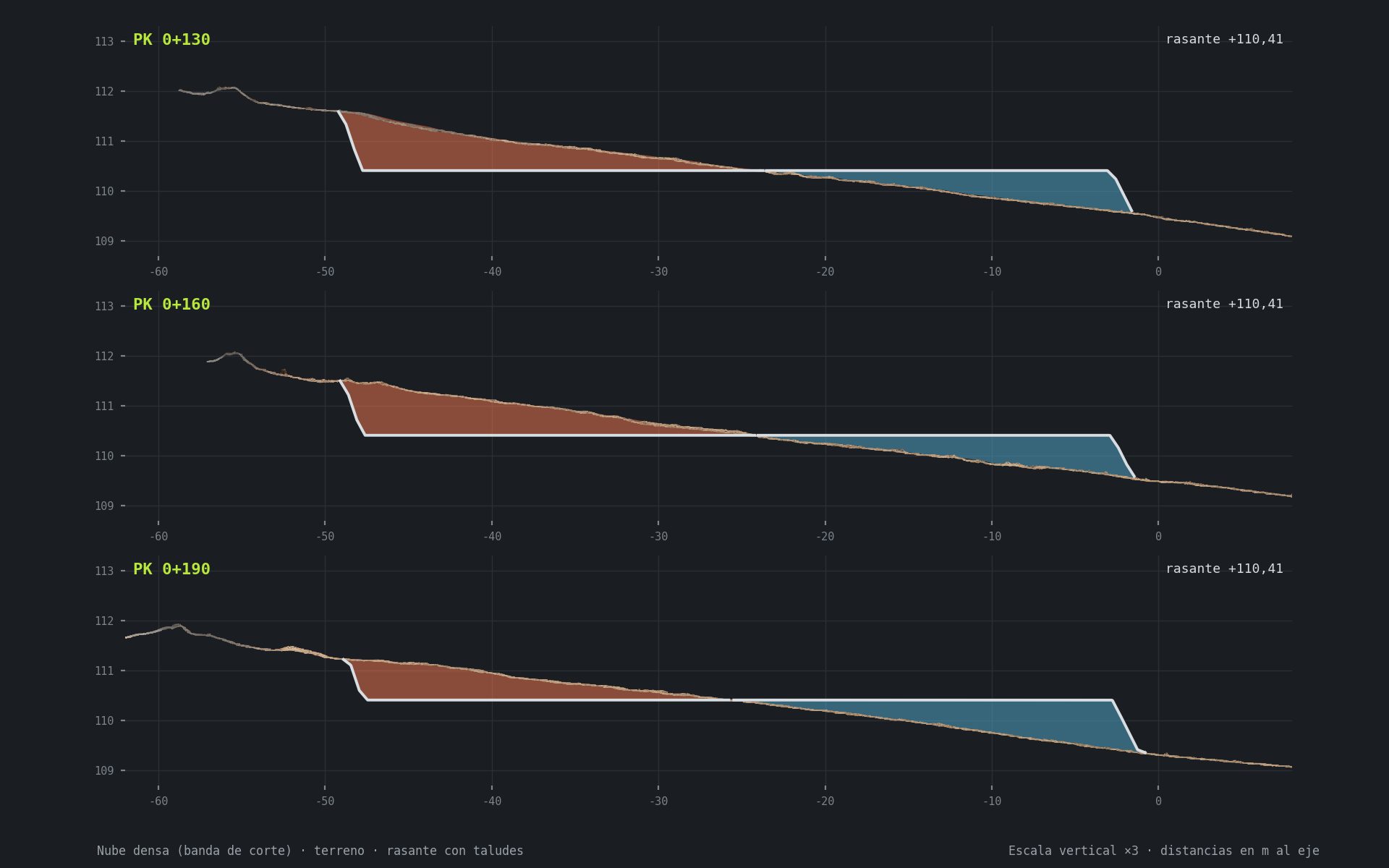
We turn the point cloud into a digital terrain model and design on top of it: platforms and earthworks with their slopes, cross-sections and cut-and-fill quantities. Figures taken from the real ground, not from an estimate.
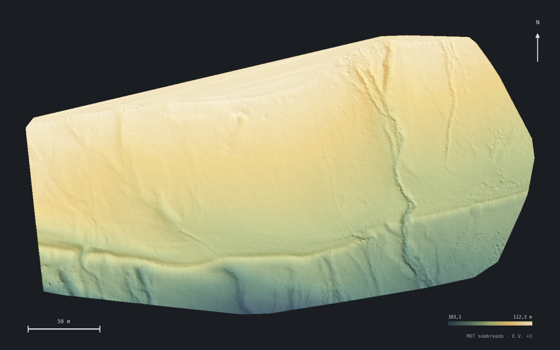
/ 01 · Terrain model
The point cloud becomes a digital terrain model: a continuous surface to measure, section and design on.
/ 02 · Design & quantities
We define the platform with its slopes and compute cut and fill. With a balanced level, what is excavated is what is filled.
/ 03 · Sections
Cross-sections with the measured ground, the design grade and the slopes. What you see in plan, verified in section.
02 / Method
We sit down with you to define accuracy targets, expected deliverables, software ecosystem and project standards. We leave with a written scope and a fixed quote.
Terrestrial laser scanning, mobile mapping or photogrammetry — we pick the technique that suits the site, not our portfolio. In-house field team, certified instruments.
Registration, classification, computation and modelling.
Files in your formats, joint review of the deliverables when needed, and post-delivery support for as long as the project runs.
03 / Let's talk
Tell us the site, the scope and the accuracy you need. We reply within 24 hours with scope, timeline and a no-commitment quote.